Portfolio

Dr Mahounan
Marcel KOUASSI

PhD in GIS and evaluation of agricultural territorial governance

International expert

GIS and monitoring & evaluationDigital transformation and e-agricultureDigital educationTerritorial governance

CEO · E-DEVELOPMENT · Lokossa, Benin
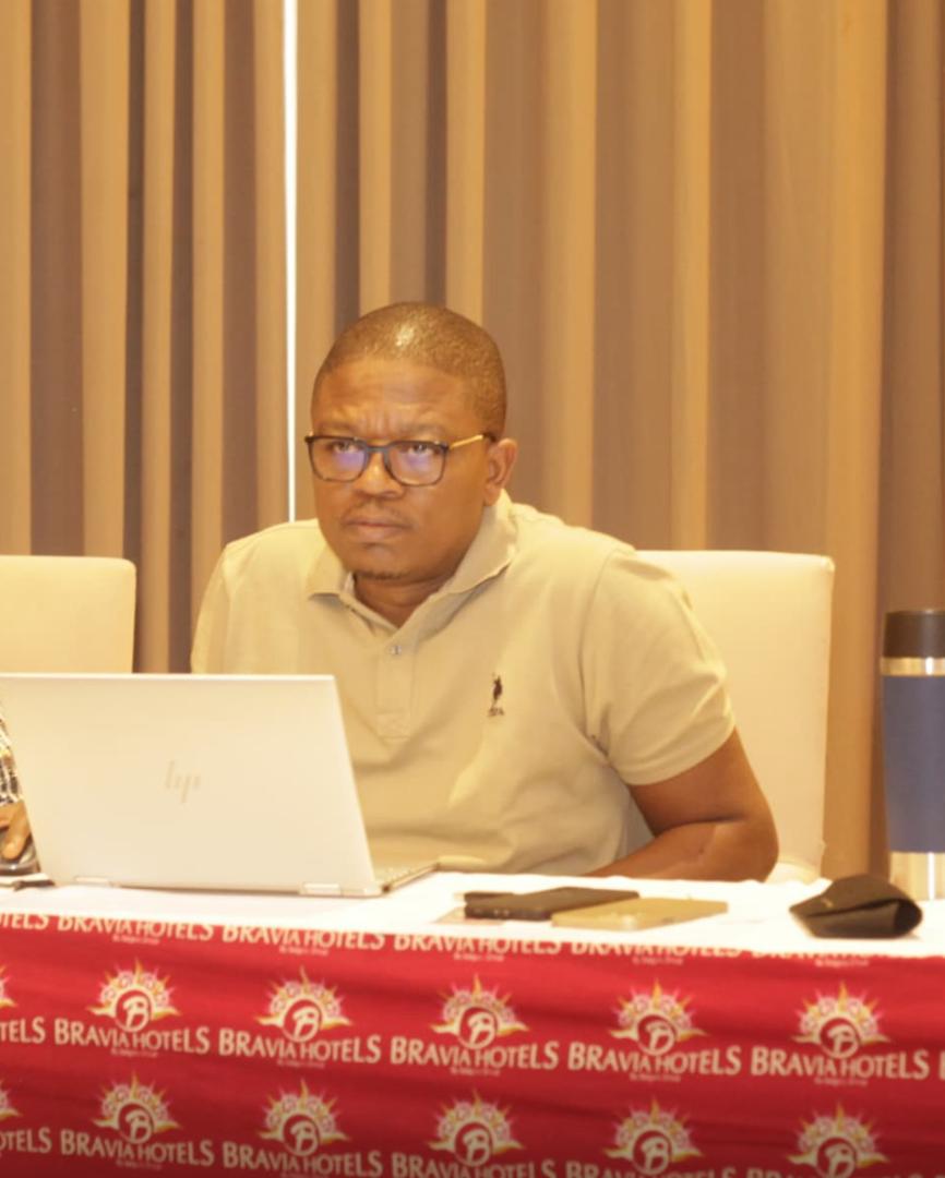
Portrait of Dr Mahounan Marcel KOUASSI

Profile

An international expert in territorial governance, geographic information systems, digital literacy and education, and monitoring and evaluation, I bring twenty years of experience to turning territorial and digital data into tools for decision-making, for steering public policies and for improving the results of development projects in Africa.

20years of expertise in monitoring & evaluation and digitalisation
30+projects and programmes supported
5countries of intervention: Benin, Niger, Burundi, Burkina Faso, Senegal
4scientific articles published

Expertise

Four areas of expertise

GIS and mapping for monitoring & evaluation

Geoportals, dashboards and atlases to track indicators, map interventions and assess territorial governance.

Digital transformation and e-agriculture

Information systems audits, digitalisation strategies, mobile data collection and precision agriculture.

Education planning and digital education

Education management information systems (EMIS), digitalisation of the school census and capacity building for stakeholders.

Territorial governance

Evaluation of agricultural territorial governance, territorial approaches to value chains, and land observatories.

Key assignments

Long-term assignments

More than 30 short assignments in addition: baseline studies, evaluations, geoportals and training.

Short-term assignments

Forty support assignments, from 2012 to 2026

40

short-term assignmentsBaseline studies, evaluations, geoportals, M&E databases and training, for ministries, projects and their donors.

YearAssignmentProject · donor

Achievements

Platforms delivered and tools mastered

Platforms and information systems delivered

  • Monitoring & evaluation information system (SISSE) for the Niger LIRE project View the sample ↗
  • Platform for tracking P2AE interventions and beneficiaries View the sample ↗
  • Territorial governance platform for PACOFIDE agricultural value chain interventions View the sample ↗
  • Indicator monitoring geoportals: PAPVIRE-ABC and PAIA-VO (AfDB)
  • Platform mapping the technical and financial partners operating in the AGORA programme area (SDC)
  • POGITAF portal for territorial and land information (GIZ)
  • Mapping of education needs in CONFEMEN countries
  • Observatory of agricultural and climate dynamics (UNDP)
  • Platform mapping nutrition-sector stakeholders and measuring the resilience of nutritious value chains to climate change (CARE International)

Toolbox

ArcGISOpen-source GISGoogle My MapsSentinel 1 and 2Drone DJI P4 RTKPix4DKoBoCollectODKAkvo FlowSPSSGeoNode

Interactive maps

15 online maps to track interventions in the field

Partners

Assignments carried out for the major development donors

World BankAfrican Development BankEuropean UnionAFDIFADUNDPGIZKfWSwiss Development Cooperation (SDC)IFPRICONFEMENWAEMUEnabelOXFAMCARE International

Organisations supported

They have benefited from our support

49organisations and projects supported
5countries: Benin, Niger, Burundi, Burkina Faso, Senegal
2006first assignments, at Benin's Ministry of Agriculture

Background

Education, teaching and research

  • 2017–2020PhD in GIS and evaluation of agricultural territorial governance, UAC Benin
  • 2023–2025Advanced master's in information systems management (CIO), TECH
  • 2023–2024Specialised master's in digital education and e-learning, TECH
  • 2021–2022Professional master's in project and quality management (GPMQ), UPI-ONM Benin
  • 2021–2022Professional master's in information systems and software, ESM Benin
  • 2012–2015DEA (postgraduate research diploma) in environmental management, UAC Benin
  • 2007–2012Maîtrise (master's level) in regional planning, UAC Benin
  • 2008–2012Bachelor's degree in business law and judicial careers, UAC Benin

Teaching

Lecturer in GIS and statistical mapping at ENSPD, University of Parakou.

Research

A doctoral thesis on the territorial governance of the pineapple sector in Atlantique (Benin) and 4 scientific articles.

Certifications

Monitoring & evaluation (ITCILO Turin), geospatial data (World Bank), photogrammetric drones, generative AI.

Scientific articles

Certifications

More than 35 certificates and attestations

YearCertificateIssuing body

Contact

Let's work together

For your projects in digitalisation, GIS applied to monitoring & evaluation, or territorial governance.